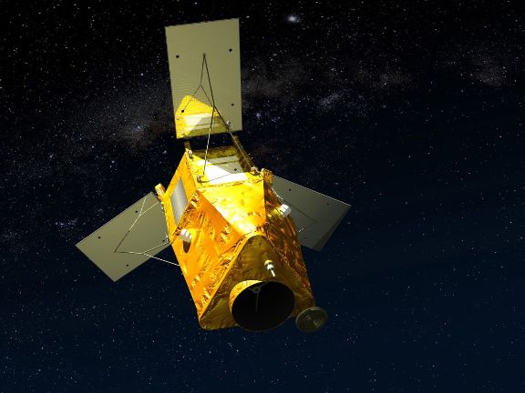
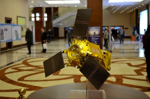
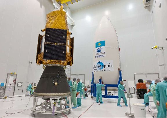
Our Satellite
kazeosat-1

Features
• Accurate and reliable: first-rate geometric and radiometric qualities.
• Optimized and accessible tasking resource.
• Agile and effective: multi-strip acquisitions and stereo capacity
Benefits
• Ideal for topographic mapping up to 1:15,000 scale and demanding applications.
• Rapid collection and delivery of tricky targets for oil, gas and mining sector as well as defence purposes.
• Cost effective solution for new collections in both mono and stereo.
Technical Specification
Satellite name KazEOSat-1
Date of launch April 30, 2014
Orbit Sun-synchronous, 750-km altitude
Spectral Bands Panchromatic, Blue, Green, Red, Near-Infrared for all acquisitions
Product Resolution Panchromatic: 1m;
Multispectral: 4m
Geometric accuracy 15 m CE90 without GCP
Dynamic Range at Acquisition 12 bits
Swath width 20km at Nadir
Revisit Capacity 2-3 days (with no limits on angle)
Viewing/incidence angles Up to 35° off-Nadir. Allows multi-strip collection in a single pass up to 60 x 90km, as well as Stereo imaging
Acquisition Capacity 220,000km² / day
Mission Lifetime >7 years